Strait of Makassar
| Strait of Makassar | ||
|---|---|---|
| Connects waters | Java lake | |
| with water | Celebes Sea | |
| Separates land mass | Sulawesi | |
| of land mass | Borneo | |
| Data | ||
| Geographical location | 0 ° 33 ′ S , 118 ° 39 ′ E | |
|
|
||
| Smallest width | 70 km | |
| Coastal towns | Makassar , Balikpapan , Palu | |
| Map of Borneo with Strait of Makassar | ||
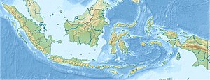
The Makassar Strait is a strait between the Indonesian part of Borneo and the island of Sulawesi (Celebes).
It connects the Celebes Sea in the north with the Java Sea in the south and has always been an important sea route . It owes its name to the port city of Makassar on Sulawesi. Other adjoining ports are Balikpapan and Palu .
The Wallace Line , the biogeographical separation of Asia and Australia, runs through the Strait of Makassar .
In 1942 the Strait of Makassar strait was the site of the battle .

