Mute card
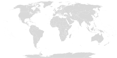
A mute card is a card for training and planning purposes, in which the card is largely or entirely dispensed with.
The topography can be shown greatly reduced on a silent map. Often the continents , national borders or other administrative borders are only represented by their outline ( contour map ). For spatial orientation important rivers can transport routes or places to be located.
Mute maps are mainly used in geography lessons as a school wall map or as a student handset . This is intended to encourage or check the memory of the location and name of spatial objects . For a clear identification of the geographic objects, they then have letters or numbers instead of the map name.
literature
- Herbert Wilhelmy. Cartography in key words . Bornträeger. 7th edition. Berlin, Stuttgart, 2002. page 125

