Sundial Bridge
Coordinates: 40 ° 35 ′ 33 ″ N , 122 ° 22 ′ 39 ″ W.
| Sundial Bridge | ||
|---|---|---|
| use | Road bridge | |
| Crossing of | Sacramento River | |
| place | Redding | |
| construction | Cable-stayed bridge | |
| overall length | 213 m | |
| opening | 4th July 2004 | |
| location | ||
|
|
||
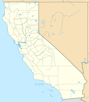
The Sundial Bridge is a cantilever cable-stayed bridge in the California city of Redding . It spans the Sacramento River for a length of 213 meters and connects the parts of the Turtle Bay Exploration Park on both sides of the river . The architect of the bridge is the Spaniard Santiago Calatrava . It was opened on July 4, 2004. The construction costs amounted to 23.5 million US dollars .
The local tourism authority chose the name Sundial Bridge because the bridge pillar, which is inclined almost exactly to the north, is reminiscent of a pole rod on a floor sundial . They even put hour markers on the floor and said they had created the largest sundial in the world (as the slogan goes). However, for reasons of principle, this clock cannot be used most of the year because the pillar does not have the correct inclination. It would have to be more inclined, namely only 40.6 ° (geographical latitude of Redding) instead of 49 ° above the horizon. The clock could only be set up for the summer solstice (basically any two days between the solstices would have been possible without errors in principle). In addition, only the shadow from the lower part of the 66 meter long pillar can be used for display. The shadow from the top is out of focus, both from the edge and from the top.


