Sunset Falls
| Sunset Falls | ||
|---|---|---|
| Coordinates | 47 ° 48 '14 " N , 121 ° 32' 59" W | |
|
|
||
| place | Snohomish County , Washington | |
| height | 32 m | |
| width | 12.2 m | |
| Number of fall levels | 1 | |
| Falling watercourse | South Fork Skykomish River | |
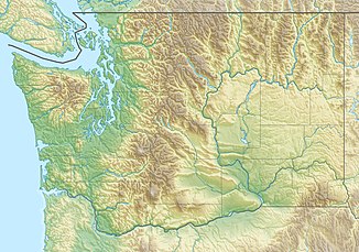
Sunset Falls is the last of three waterfalls on the South Fork Skykomish River . It is located near Index in Snohomish County , Washington state . With a difference in elevation of 104 ft (31.7 m), its run length is 275 ft (83.8 m) within a long, narrow, high-energy gully. The river is ascribed speeds of 60 mi (97 km) per hour. During high tide, the water can shoot up to 30 ft (9 m) high due to multiple pools .
Access
There is currently no public access to Sunset Falls.
Course of the Sunset Falls
On May 30, 1926, the daredevil and stuntman Al Faussett drove down the waterfall in a canoe, watched by hundreds of spectators on the rocks on both sides of the falls. He only briefly complained of internal pain. He later repeated the action at Eagle Falls as well as many other waterfalls in Oregon and Idaho .
Several local kayakers, most notably Rob McKibbin and Sam Grafton, have successfully sailed Sunset Falls. The waterfall is classified in Class VI for whitewater because of its inevitable and potentially fatal hazards .
Individual evidence
- ↑ Sunset Falls, Snohomish County, Washington - Northwest Waterfall Survey , accessed June 1, 2018
- ↑ < Archived copy ( memento of the original from August 25, 2004 in the Internet Archive ) Info: The archive link was automatically inserted and not yet checked. Please check the original and archive link according to the instructions and then remove this notice.
