Sunstone Knoll
| Sunstone Knoll | ||
|---|---|---|
| height | 1412 m | |
| location | Utah , United States | |
| Coordinates | 39 ° 8 '47 " N , 112 ° 43' 2" W | |
|
|
||
| Type | Cinder cone | |
| Last eruption | Middle Pleistocene | |
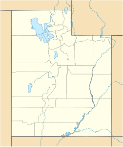
The Sunstone Knoll is a small volcanic hill in Millard County , Utah . It's just south of Delta on Utah State Route 257 . With a height of 1412 m, the hill rises only slightly above the surrounding land.
Like Pot Mountain further west, Sunstone Knoll is a small volcanic elevation of the Black Rock Desert volcanic field . It originated around the early to mid- Pleistocene . The basalt of the hill contains large inclusions of translucent, yellowish labradorite . The name of the Sunstone Knoll is derived from these stones, which shine in the sun. There is a private claim that collecting the minerals on public land is permitted.
