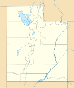
Pot Mountain, Utah
| Pot Mountain | ||
|---|---|---|
| height | 1472 m | |
| location | Utah , United States | |
| Coordinates | 39 ° 7 '43 " N , 112 ° 46' 26" W | |
|
|
||
| Type | Cinder cone | |
| Last eruption | Middle Pleistocene | |
The Pot Mountain (formerly Dunderburg Butte ) is a volcanic cone in Millard County , Utah . It is located southwest of the city of Delta in the Sevier Desert . With a height of 1472 m, it towers over the surrounding plain by almost 80 meters. It bears witness to a volcanic area that has been active for around 1.6 million years, the Black Rock Desert volcanic field .
The mountain consists of dark, basaltic rock that is clearly separated from the surrounding area . Small amounts of basaltic tuff point to an eruption in the mid- Pleistocene when the area was completely submerged. The geologist Grove Karl Gilbert wrote in 1890 that Dunderburg Butte (Pot Mountain) was the remnant of a volcano. The summit was eroded about 14,500 years ago by waves from Lake Bonnevilles , the lake level of which at that time was about 1480 m ( Provo Level ). Only a few hard basalt dykes remained.
Further evidence of volcanism in the immediate vicinity are the Sunstone Knoll in the northeast, the Pahvant Butte further east and the 20 km² basalt field of Deseret in the north.
Individual evidence
- ↑ Lehi F. Hintze, Fitzhugh D. Davis: Geology of Millard County, Utah , Utah Geological Survey, pp. 25, 162
