Sveifluháls
| Sveifluháls | ||
|---|---|---|
|
Sveifluháls with geothermal area |
||
| Highest peak | Stapatindar ( 395 m ) | |
| location | Iceland | |
|
|
||
| Coordinates | 63 ° 56 ′ N , 22 ° 1 ′ W | |
| Type | Palagonite back | |
| rock | Palagonite | |
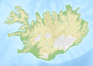
The Sveifluháls or Austurháls is a mountain ridge in southwest Iceland .
Volcanism
The palagonite ridge is located in the south of the Reykjanesskagi peninsula and forms the western boundary of Lake Kleifarvatn . Its steep slopes reach down to the water. It belongs to the Krýsuvík volcanic system .
The highest peaks of Sveifluhál are Stapatindar (395 m), Hellutindar (364 m) and Miðdegishnúkar.
In the south and east of Sveifluhál there are high temperature areas that belong to the Krýsuvík volcanic system. Therefore, there was once a sulfur mine here .
Hiking on the Sveifluháls
There are numerous hiking trails in the area, e.g. B. There is the possibility to go from the high temperature area Seltún over the Sveifluháls into the Móhálsdalur and to the lake Djúpavatn .
See also
Web links
- Sveifluháls in the Global Volcanism Program of the Smithsonian Institution (English)
- photo

