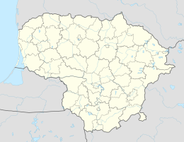
Tabala (Jonava)
| Tabala | ||
| State : |
|
|
| District : | Kaunas | |
| Rajong municipality : | Jonava | |
| Coordinates : | 55 ° 11 ′ N , 24 ° 29 ′ E | |
| Inhabitants (place) : | 12 (2011) | |
| Time zone : | EET (UTC + 2) | |
|
|
||
Tabala is a village with 12 inhabitants (as of 2011) in Lithuania , in the Šilai district , in the Jonava district ( Kaunas district ), 15 kilometers from the central town of Jonava , not far from the Ukmergė district . The Lokys , the tributary of the Neris, flows here . In the north there are Palokys . Pageležiai forest is to the south and Bareišiai forest to the west (the eastern part). There was one ornithology -Schutzgebiet to protect waterfowl ( Tabalu vandens paukščių draustinis ).
literature
- Lietuvos TSR administracinio-teritorinio suskirstymo žinynas, T. 2. - Vilnius: Mintis, 1976.
