Tactical navigation

The Tactical Navigation provides a number of solutions available that for different requirements for ship maneuvers , especially in the Navy are required. These tasks always arise in a formation of ships , which for tactical reasons should have a certain form (formation).

The Tactical Navigation is always controlled by the lead ship (Engl. Guide ), the on the fleet commander or at least for this command (combat or training) responsible officer is. Tactical navigation has certainly been used since warfare took place at sea . In the time of the great naval battles under sail in the 17th to 19th centuries, this technology was significantly improved through rapid signal routing.
With the introduction of steamships and other modern ship propulsion systems and thus complete independence from the wind direction and the wind as an aid to locomotion, further tasks have been added. Today a distinction is made between the following maneuvers:
- Station (at commanded voyage, time, or commanded course). This means that a certain position should be taken in relation to the guide , whereby one factor, namely the speed, the time required for this or the course to be taken, is determined
- Stationing while the guide changes course and / or drive at the same time
- Dodge on a collision course
- Formation flight similar to formation flight
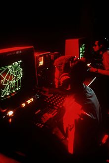
The most important aid for coupling is the coupling spider and the plot . The coupling spider is a square, approx. 30 cm × 30 cm large sheet with different measures and scales for conversion on the edge of the sheet, as well as a 360 ° graph paper with graduation to show movements relative to one's own position. The representation largely corresponds to the image of a radar image . In contrast to commercially available graph paper, the degree lines are printed in green so that they are still visible in the (red) combat lighting. The plot, on the other hand, is a measuring table sheet - a large sheet with grid points for entering absolute positions, directions (bearings) and movements.
With the advancing technology there are meanwhile also software solutions for such tasks similar to Tactical Air Navigation (TACAN) in aviation.
