Taum Sauk Mountain
| Taum Sauk Mountain | ||
|---|---|---|
|
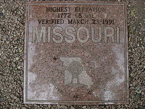
The granite slab on top of the elevation marks the summit (height in feet) |
||
| height | 540 m | |
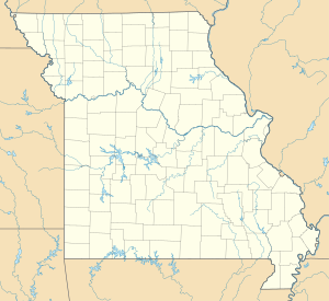
| location | Iron County , Missouri | |
| Mountains | Saint Francois Mountains | |
| Coordinates | 37 ° 34 '13 " N , 90 ° 43' 40" W | |
|
|
||
| particularities | highest point of Missouri | |
|
Taum Sauk Mountain on the horizon |
||
At 540 meters, Taum Sauk Mountain is the highest point in Iron County and the US state of Missouri . It is located in the Saint Francois Mountains and near its summit is an observation tower called the Taum Sauk Lookout Tower. At the top of the elevation there is a granite slab that serves as a summit cross. The Taum Sauk pumped storage plant is located a few kilometers to the west .
Web links
- Taum Sauk Mountain on summitpost.org (English)
- Taum Sauk Mountain on Peakbagger.com (English)


