Tenryu Oku Mikawa Quasi National Park
|
Tenryu Oku Mikawa Quasi National Park
|
||
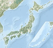
| location | Nagano , Shizuoka, and Aichi Prefectures , Japan | |
| surface | 257.23 km² | |
| WDPA ID | 3255 | |
| Geographical location | 35 ° 16 ′ N , 137 ° 50 ′ E | |
|
|
||
| Setup date | 1st October 1969 | |
| administration | Nagano , Shizuoka, and Aichi Prefectures | |
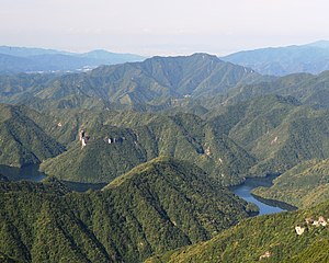
The Tenryū Oku Mikawa Quasi National Park ( Japanese 天 竜 奥 三河 国 定 公園 Tenryū Okumikawa Kokutei Kōen ) is one of over 50 quasi national parks in Japan. The prefectures of Nagano , Shizuoka and Aichi are responsible for the administration of the 257.23 km² park. The park was named on October 1, 1969. With the IUCN Category V, the park area is classified as a Protected Landscape / Protected Marine Area . In the park there are, among other things, the eponymous Tenryū valley and the Sakuma dam .
See also
Web links
Commons : Tenryū-Okumikawa Quasi-National Park - Collection of pictures, videos and audio files
World Database on Protected Areas - Tenryū-Oku-Mikawa Quasi-National Park (English)
Individual evidence
- ↑ 天 竜 奥 三河 国 定 公園 . In: ブ リ タ ニ カ 国際 大 百科 事 典 小 項目 事 典 et alii at kotobank.jp. Retrieved December 20, 2019 (Japanese).

