Wakasa Wan Quasi National Park
|
Wakasa Wan Quasi National Park
|
||
| location | Fukui Prefecture and Kyoto Prefecture , Japan | |
| surface | 191.95 km² | |
| WDPA ID | 3096 | |
| Geographical location | 35 ° 31 ' N , 135 ° 40' E | |
|
|
||
| Setup date | June 1, 1955 | |
| administration | Fukui Prefecture and Kyoto Prefecture | |
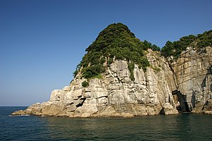
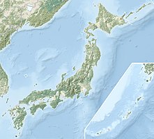
The Wakasa-Wan Quasi National Park ( Japanese 若 狭 湾 国 定 公園 Wakasa-wan Kokutei Kōen ) is one of over 50 quasi-national parks in Japan. It lies between the mouths of the Shō-gawa ( 笙 の 川 ) rivers near Tsuruga in Fukui Prefecture and the Yura-gawa ( 由 良 川 ) near Maizuru in Kyoto Prefecture . Therefore, both prefectures of Fukui and Kyoto are responsible for the administration of the park, which was founded on June 1, 1955. Since the 19,195 hectare park stretches along the coastline of Wakasa Bay - a typical Riyal coast - it was designated a quasi-national park. In 2007, the part from the Yura-gawa to the former Tango Province was spun off and made a separate quasi-national park, the Tango-Amanohashidate-Ōeyama-Quasi-National Park . With the IUCN Category V, the park area is classified as a Protected Landscape / Protected Marine Area . The Wakasa Bay is also protected by the Ramsar Convention .
See also
Web links
- 若 狭 湾 国 定 公園 . Kyoto Prefecture,accessed on 20 December 2019(in Japanese, with many illustrations).
Individual evidence
- ↑ a b 若 狭 湾 国 定 公園 . In: ブ リ タ ニ カ 国際 大 百科 事 典 小 項目 事 典 et alii at kotobank.jp. Retrieved December 20, 2019 (Japanese).

