The Crutch
| The Crutch | |||
|---|---|---|---|
| Compass direction | South Atlantic (north-northeast) | Allen Bay (South Southwest) | |
| region | South Georgia | ||
| map | |||
|
|
|||
| Coordinates | 54 ° 11 ′ 12 ″ S , 36 ° 31 ′ 41 ″ W | ||
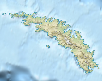
The Crutch (English for the crutch ) is a mountain pass in the form of a mountain saddle at South Georgia . It runs 2.5 km northwest of Larsen Point and immediately west of Cumberland Ridge on the Lewin Peninsula on the west side of the entrance to Cumberland Bay .
Scientists from the British Discovery Investigations , who also gave it its descriptive name based on its appearance, mapped the pass between 1925 and 1929.
Web links
- The Crutch in the Geographic Names Information System of the United States Geological Survey (English)
- The Crutch on geographic.org
