Tlapanaloya
| Tlapanaloya | ||
|---|---|---|
|
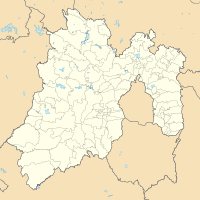
Coordinates: 19 ° 56 ′ N , 99 ° 6 ′ W Tlapanaloya on the map of Mexico
|
||
| Basic data | ||
| Country | Mexico | |
| State | México | |
| Municipio | Tequixquiac | |
| Residents | 6466 (2010) | |
| City insignia | ||
| Detailed data | ||
| height | 2250 m | |
| Post Code | 55653 | |
| prefix | (+52) 599 | |
| Time zone | UTC −6 | |
| Resurrection Church in Tlapanaloya | ||
Tlapanaloya is a place in the Mexican state of México with about 6,500 inhabitants, which belongs to the municipality of Tequixquiac .
The name Tlapanaloya comes from the Nahuatl term Tetlapanaloyan , derived from tetl ' stone ', tlapana 'broken' and -loyan 'place, place', which means roughly "place of the broken stone".
Web links
Commons : Tlapanaloya - Collection of images, videos and audio files


