Toze Kangri
| Toze Kangri | ||
|---|---|---|
| height | 6388 m | |
| location | Changthang , Tibet Autonomous Region ( PR China ) | |
| Mountains | Kunlun | |
| Coordinates | 34 ° 47 '29 " N , 82 ° 21' 32" E | |
|
|
||
| Development | after 2007 | |
The Toze Kangri are over 6000 m high mountains in Tibet .
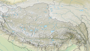
They belong to a mountain range about 25 kilometers long from north to south in the remote and deserted highland steppe Changthang in the north-west of the country. It is located at the western end of the Kunlun Mountains. The highest peak is the Toze Kangri NE (north-east) at 6388 meters , the second highest is the Toze Kangri SW (south-west) at 6366 meters, according to GPS measurements. Until 2007, the mountains surrounded by glaciers were considered unclimbed, although they did not have any major technical difficulties.
The city of Kashgar in the Xinjiang area of the People's Republic of China serves as the starting point for an expedition to the Toze Kangri .
source
- Toze Kangri at summitpost.org
