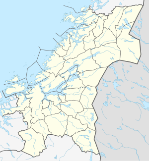
Tunnsjøen
| Tunnsjøen (Dåtnejaevrie) | ||
|---|---|---|

|
||
| Geographical location | Lierne , Røyrvik ( Trøndelag ) | |
| Drain | Tunnsjøeelva | |
| Islands | Gudfjelløya | |
| Data | ||
| Coordinates | 64 ° 42 ′ N , 13 ° 28 ′ E | |
|
|
||
| Altitude above sea level | 358 moh. | |
| surface | 100.18 km² | |
| volume | 8.68 km³ | |
| scope | 117.86 km | |
| Maximum depth | 220 m | |
The Tunnsjøen ( Sami : Dåtnejaevrie ) is the seventh largest inland lake in Norway in the municipalities of Røyrvik and Lierne ( Trøndelag ).
The island of Gudfjelløya in Tunnsjøen rises 812 m. ü. M. 454 m above the water level of the lake, making this island the highest inland island in Norway.
