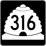
Utah State Route 316

|
|
|---|---|
| Basic data | |
| Overall length: | 3.8 mi / 6 km |
| Starting point: |
|
| End point: | In Goosenecks State Park |
| County: | San Juan County |
The Utah State Route 316 is a 6 km long highway in Utah , built in 1975. The Utah State Route 316 begins north of Mexican Hat at the Utah State Route 261 and ends in Goosenecks State Park .
See also
Web links
Commons : State highways in Utah - Collection of pictures, videos, and audio files