Whanganui National Park
| Whanganui National Park | ||
|---|---|---|
| Whanganui River | ||
|
|
||
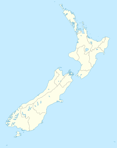
| Location: | Manawatu-Wanganui , New Zealand | |
| Specialty: | historical waterway | |
| Surface: | 742 km² | |
| Founding: | 1986 | |
| Address: | Ingestre Chambers, 74 Ingestre Street Private Bag 3016 Wanganui Tel. 64 6 345 2402 |
|
Founded in 1986 Whanganui National Park (English Whanganui National Park ) protects a 724 km² natural state area by the river Whanganui on the New Zealand North Island .
Geography and climate
Whanganui National Park lies in the heart of a large lowland in the interior of the North Island. Coming from the slopes of the Tongariro volcano , the Whanganui River - New Zealand's third longest - flows through this region in numerous turns . The national park stretches along both banks of its central reaches . The landscape here is partly hilly, partly flat. Although there are no high mountains, the Whanganui and its tributaries have created quite spectacular terrain formations in some places through erosion . The altitude is between 500 and 746 m . The local climate is generally temperate, with warm summers, mild to cool winters and, for New Zealand standards, average rainfall .
Flora and fauna
The area of the national park is almost entirely forested. The dominant tree species are stone veneers (conifers of the southern hemisphere) and various indigenous subtropical deciduous trees. Beeches predominate in higher elevations. Tree ferns are a botanical highlight . The forests on the banks of the Whanganui are the habitat of numerous native songbird species; the rare New Zealand blue duck can still be found on the water . Eels, trout, flounder and lampreys live in the river itself.
history
The region around the Whanganui River is only sparsely populated; larger cities are completely absent in the area (apart from the town of Wanganui at the mouth). Even so, the river, which is New Zealand's longest navigable waterway, played a central role in the nation's history. Centuries ago, Māori used it as a transport route between the coast and the inland and cultivated land on its banks. The river was also an important transport axis for the early European settlers when there was no road network. From 1891 onwards, regular river boats carried people and goods up and down the Whanganui. Today, after shipping has long been replaced by road and rail, the river is an Eldorado for paddlers, who every year discover the natural beauties and historical sites of Whanganui National Park from the water by the thousands.


