Záblatský rybník
| Záblatský rybník | ||
|---|---|---|

|
||
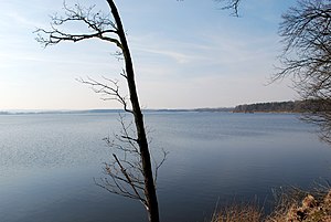
| View from the dam over the pond | ||
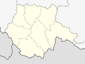
| Geographical location | Třeboňská pánev , west of Záblatí ( Czech Republic ) | |
| Tributaries | Stojčín, Zlatá stoka (Golden Channel) | |
| Drain | Zlatá stoka | |
| Data | ||
| Coordinates | 49 ° 6 '15 " N , 14 ° 40' 56" E | |
|
|
||
| Altitude above sea level | 427 m | |
| surface | 3.05 km² | |
| volume | 3,350,000 m³ | |
The Záblatský rybník is a 305 hectare fish pond in the Třeboňská pánev and the sixth largest pond in the Czech Republic . It is located west of the village of Záblatí in the Okres Jindřichův Hradec and is fed by the Golden Channel and the Stojčín brook. The water depth is three meters. The Záblatský rybník holds 3.35 million m³ of water.
history
The creation of a new pond on the Strúha Canal near Záblatí took place in 1475 by order of Zdenko von Sternberg . Construction was completed in 1479.
After the construction of the Golden Canal , a stone Tare wall was built in 1527. The first expansion took place under Peter IV von Rosenberg , who acquired the pond in 1513. Between 1580 and 1582 the pond was enlarged to 338 hectares of water.
