Ziegelweiher (Sauerlach)
| Brick pond | ||
|---|---|---|

|
||
| Brick pond | ||
| Geographical location | Bavaria , Germany | |
| Tributaries | (without) | |
| Drain | (without) | |
| Location close to the shore | Sauerlach | |
| Data | ||
| Coordinates | 47 ° 56 '36 " N , 11 ° 37' 57" E | |
|
|
||
| Altitude above sea level | 658 m | |
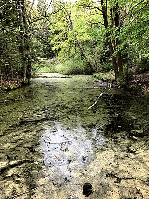
The Ziegelweiher is an artificial body of water near Arget in the Bavarian district of Munich .
description
The pond is about 658 m above sea level. NHN at the edge of the forest in the Deisenhofen forest west of Arget.
Individual evidence
- ↑ Entry in the BayernAtlas . 2020-06-12.
