Target ony copy c
| Target ony copy c | ||
|---|---|---|
|
View from Wisła |
||
| height | 1152 m npm | |
| location | Silesia , Poland | |
| Mountains | Silesian Beskids | |
| Coordinates | 49 ° 38 '35 " N , 19 ° 0' 8" E | |
|
|
||
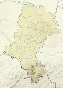
The Zielony Copyc (German: Green Hill ) is a mountain in Poland . With a height of 1152 m, it is one of the higher mountains in the Barania ridge in the Silesian Beskids . The mountain is a popular tourist destination with many views of the neighboring mountains and the lowlands. The western slope belongs to the municipality of Wisła , the eastern slope to the powiat Żywiecki . The border between the duchies of Teschen and Auschwitz ran across the mountain , after the former was divided in 1315. The name of the mountain therefore does not come from its conical shape, but from the fact that a hill was heaped up on its summit as a border marker.
tourism
literature
- Mirosław J. Barański: Beskid Śląski. Pasmo Stożka i Czantorii. Przewodnik turystyczny . Wyd. Wydawnictwo PTTK “Kraj”, Warszawa 1996, ISBN 83-7005-370-X
- Mirosław J. Barański: Beskid Śląski: Przewodnik. 2007. ISBN 978-83-89188-71-7 , Pruszków, Oficyna Wydawnicza “Rewasz”
Web links
Commons : Zielony copyc - collection of images, videos and audio files


