Bašaid: Difference between revisions
Content deleted Content added
m Undid revision 187004488 by Janos Kurko (talk) |
Replacing geodata: {{coord|45|38|N|20|25|E|region:RS_type:city|display=title}} |
||
| Line 32: | Line 32: | ||
{{Vojvodina-geo-stub}} |
{{Vojvodina-geo-stub}} |
||
{{North Banat District}} |
{{North Banat District}} |
||
{{ |
{{coord|45|38|N|20|25|E|region:RS_type:city|display=title}} |
||
[[Category:Kikinda|Basaid]] |
[[Category:Kikinda|Basaid]] |
||
Revision as of 12:27, 22 September 2008


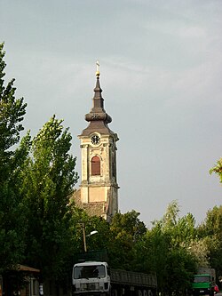
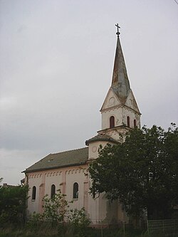
Bašaid (Башаид) is a village located in the Kikinda municipality, in the North Banat District of the Republic of Serbia. It is situated in the Autonomous Province of Vojvodina. The village has an ethnic Serb majority and a population of 3,503 (2002 census). Administratively, the settlement of Bikač is also classified as part of Bašaid.
Ethnic groups (2002 census)
- Serbs = 3,123 (89.15%)
- Roma = 179 (5.11%)
- Hungarians = 100 (2.86%)
- Yugoslavs = 23 (0.66%)
- Macedonians = 12 (0.34%)
- others.
Historical population
- 1961: 4,367
- 1971: 3,982
- 1981: 3,864
- 1991: 3,741
- 2002: 3,503
References
- Slobodan Ćurčić, Broj stanovnika Vojvodine, Novi Sad, 1996.
