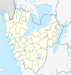
Kättilstorp
Kättilstorp | |
|---|---|
| Coordinates: 58°02′30″N 13°42′30″E / 58.04167°N 13.70833°E | |
| Country | Sweden |
| Province | Västergötland |
| County | Västra Götaland County |
| Municipality | Falköping Municipality |
| Area | |
| • Total | 0.44 km2 (0.17 sq mi) |
| Population (31 December 2010)[1] | |
| • Total | 253 |
| • Density | 571/km2 (1,480/sq mi) |
| Time zone | UTC+1 (CET) |
| • Summer (DST) | UTC+2 (CEST) |
| Climate | Dfb |
Kättilstorp is a locality situated in Falköping Municipality, Västergötland, Sweden. It had 253 inhabitants in 2010.[1]
It is known because of the Ryttaren Peat Factory and its light railway.
References[edit]
- ^ a b c "Tätorternas landareal, folkmängd och invånare per km2 2005 och 2010" (in Swedish). Statistics Sweden. 14 December 2011. Archived from the original on 27 January 2012. Retrieved 10 January 2012.


