Denis Island
| Denis Island | ||
|---|---|---|
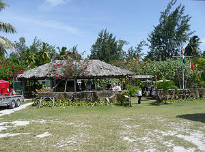
| The entrance to the Denis Island Resort | ||
| Waters | Indian Ocean | |
| Archipelago | Seychelles | |
| Geographical location | 3 ° 48 '17 " S , 55 ° 40' 1" E | |
|
|
||
| length | 2 km | |
| width | 1 km | |
| surface | 1.1 km² | |
| Map from 1977 | ||
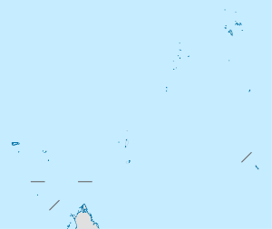
Denis Island ( French Île Denis ) is the second northernmost island in the Republic of the Seychelles after Bird Island . It is 87 km from the main island of Mahé and 103 km from Victoria and is one of the so-called " Northern Coral Islands ".
The 1.1 km² large coral island was discovered on August 11, 1773 by Denis de Trobriand . He named it Isle Denis after himself and took possession of it for France. Trobriand buried a bottle on the island that contained the deed of possession. The last island of the main group of Seychelles was officially in French possession.
As on many Seychelles islands, Denis Island also has a private resort including an airfield. On the north coast of the island there is still a lighthouse from 1910.
The island, which is densely covered with coconut palms and casuarinas , is part of the “Nature Seychelles” project to conserve native species. Endangered bird species such as the Seychelles reed warbler ( Acrocephalus Sechellensis ) or the Seychelles weaver ( Foudia Sechellarum ) are being relocated from other islands to Denis Island.
Web links
- Denis Island's private homepage ( Memento from March 7, 2009 in the Internet Archive )
Individual evidence
- ^ William McAteer: Rivals in Eden. A History of the French Settlement and British Conquest of the Seychelles Islands, 1742-1818. The Book Guild, Lewes, Sussex 1991. ISBN 0-86332-496-7 . P. 89.


