Îles du Roi Georges
| Îles du Roi Georges | ||
|---|---|---|
| Waters | Pacific Ocean | |
| archipelago | Tuamotu Archipelago | |
| Geographical location | 14 ° 20 ′ S , 145 ° 20 ′ W | |
|
|
||
| Number of islands | 5 atolls | |
| Total land area | 64 km² | |
| Residents | 2730 (2002) | |
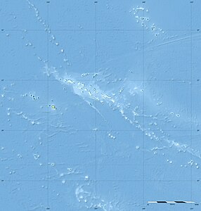
| map | ||
The Îles du Roi Georges (German: King George Islands ) are a group of islands in the northwestern area of the Tuamotu Archipelago in French Polynesia .
The archipelago consists in the west of the two inhabited atolls Manihi and Ahe , which administratively belong to the municipality of Manihi . In the eastern area are the inhabited atolls Takapoto and Takaroa and the uninhabited coral island Tikei , which make up the municipality of Takaroa . The total land area of all islands is 64 km², the area including the lagoons is 516 km². The archipelago has about 2730 inhabitants (as of 2002).
The islands were discovered for Europe in 1616 by the Dutch sailors Willem Cornelisz Schouten and Jacob Le Maire . The islands received their current name from the British navigator and Admiral John Byron in honor of King George III .

