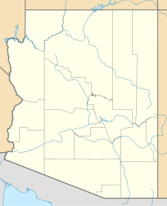
Agassiz Peak
| Agassiz Peak | ||
|---|---|---|
|
Agassiz Peak |
||
| height | 3766 m | |
| location | Arizona , USA | |
| Mountains | San Francisco Peaks | |
| Coordinates | 35 ° 19 ′ 51 ″ N , 111 ° 41 ′ 0 ″ W | |
|
|
||
| Normal way | Hike | |
The Agassiz Peak is the second highest mountain in the US state of Arizona . It has an elevation of 3,766 m and is located in the San Francisco Peaks within the Coconino National Forest , north of Flagstaff .
Arizona's highest peak rises about two kilometers to the north, Humphreys Peak . The latter is often confused with Agassiz Peak, as it obstructs the view of the higher Humphreys Peak when seen from Flagstaff.
Agassiz Peak can be climbed without any technical difficulties. The starting point of a summit tour is the Flagstaff Ski Bowl . Cars can be parked there in several large parking lots at a height of 2800 m. Agassiz Peak can be climbed together with Humphreys Peak in one day. A total of 12 km must be covered for the entire tour. On the saddle between Humphreys Peak and Agassiz Peak is the turnoff to Agassiz Peak.
The climb to Agassiz Peak has been closed since 1985. The scree and therefore unstable subsoil threatens a rare plant species ( Senecio Franciscanus ). However, if the summit is covered with snow in winter, Agassiz Peak can be climbed.
Web links
- Agassiz Peak on Peakbagger.com (English)
- Summit post

