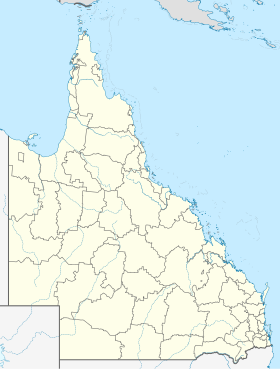
Albany Creek (location)
| Albany Creek | |||||||
|---|---|---|---|---|---|---|---|
 Albany Creek Road |
|||||||
|
|||||||
|
|||||||
|
|||||||
|
|||||||
|
|
|||||||
Albany Creek is a suburb of Brisbane , the capital of the Australian state of Queensland . The population was 15,769 in 2016.
Albany Creek has a state high school and two state primary schools . The city also has a shopping center, fast food restaurants and a library.
The Australian pop duo The Veronicas grew up in Albany Creek.
history
The suburb of Albany Creek was originally founded at the intersection of two Aboriginal roads. The main road was the main route to the north of Brisbane and is still known today as the Old Northern Road . The second road connected Old Northern Road with Little Cabbage Tree Creek in Aspley and on to Downfall Creek in Chermside . Today this trail runs along Albany Creek Road and Gympie Road .
Albany Creek was originally known as Chinaman's Creek before it was given its current name in 1888.
Individual evidence
- ↑ a b Australian Bureau of Statistics : Albany Creek ( English ) In: 2016 Census QuickStats . June 27, 2017. Retrieved April 13, 2020.
