Alp Sigel
| Alp Sigel | ||
|---|---|---|
|
Alp Sigel with the Zahmen Gocht and the Sigelwand over Wasserauen |
||
| height | 1579 m above sea level M. | |
| location | Canton of Appenzell Innerrhoden , Switzerland | |
| Mountains | Alpstein , Appenzell Alps | |
| Coordinates | 751 207 / 238 091 | |
|
|
||
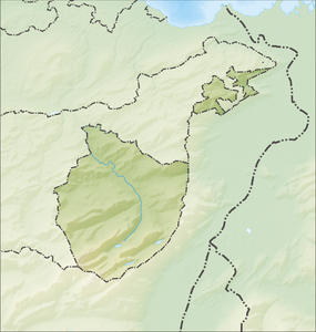
The Alp Sigel im Alpstein lies at an altitude of 1579 m above sea level. M. on a ridge between Wasserauen and the Sämtisersee . From the ridge of the Alp there is a magnificent view over Lake Constance and the Alpine Rhine .
Alp
The pasture area is between 1550 and 1800 m above sea level. M. on the uppermost part of a dry southeast slope. The property owner is the Alp Sigel alpine cooperative under private law . The alp has a size of 113 hectares and is divided into six alpine rights . Five alpine rights belong to private individuals, one alpine rights belong to the canton of Appenzell Innerrhoden .
The water supply consists of meteor water and reservoirs that are fed with water from the roof.
Cable car
To Alp Sigel leads from Pfannenstiel in Brülisau an aerial tramway with 1,082 meters in length. The first cable car was put into operation in May 1964 as a single-track aerial tramway with a payload of 250 kg. On June 9, 2008, a thunderstorm caused damage to the railway, which made it necessary to rebuild the system. The new aerial tramway, which opened on May 1, 2011, has two cabins for transporting people and materials and overcomes a height difference of 657 meters in five minutes. The payload for material is 640 kg.
Web links
- Official website of the alpine cooperative Alp Sigel
- Interactive 360-degree spherical panorama of Alp Sigel

