Alpe di Neggia
| Alpe di Neggia | |||
|---|---|---|---|
|
Alpe di Neggia |
|||
| Compass direction | Northeast | southwest | |
| Pass height | 1395 m above sea level M. | ||
| region | Canton of Ticino | Varese Province | |
| Watershed | Riale di Vira | Giona | |
| Valley locations | Vira | Maccagno | |
| expansion | Street | ||
| profile | |||
| Ø pitch | 9.6% (1194 m / 12.5 km) | 5.5% (1185 m / 21.6 km) | |
| Max. Incline | 14% | 12% | |
| Map (Ticino) | |||
|
|
|||
| Coordinates | 708 893 / 107 488 | ||
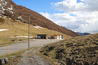
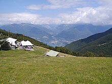
The Alpe di Neggia is a pass in the Swiss canton of Ticino . It connects the Swiss towns of Vira and Indemini with the Italian Maccagno and forms the transition between Monte Tamaro and Monte Gambarogno.
description
The pass height is 1395 m above sea level. M. in Switzerland. The end points of the road are on different arms of Lake Maggiore , the state border is in Indemini.
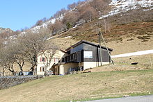
There is a small ski area on the northern side of the pass crossing. There is a plate ski lift 500 meters in length and 200 meters in altitude, a mini ski lift 150 meters in length and 30 meters in altitude. The total length of the slopes is 1 kilometer. This includes a 100 meter long toboggan run. On the opposite side there is a restaurant with overnight accommodation.
Web links
- Alpe di Neggia in quaeldich.de (accessed on: May 1, 2016.)
- Alpe di Neggia in motofun.ch (accessed on: May 1, 2016.)


