Aursunden
| Aursunden | ||
|---|---|---|

|
||
| The snow-covered Aursunden in April 2014 | ||
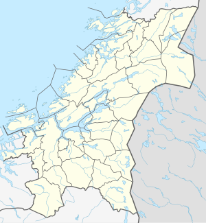
| Geographical location | Røros in Trøndelag ( Norway ) | |
| Tributaries | Glomma | |
| Drain | Glomma | |
| Data | ||
| Coordinates | 62 ° 37 ′ N , 11 ° 48 ′ E | |
|
|
||
| Altitude above sea level | 690 moh. | |
| surface | 46.4 km² | |
| scope | 102.98 km | |
| Maximum depth | 60 m | |
The Aursunden is a lake in the municipality of Røros in Fylke Trøndelag in Norway . The lake is at an altitude of 690 m and has an area of 46 km². The body of water on the upper reaches of the Glomma is the 23rd largest lake in Norway. The aursunden is regulated. The Kuråsfoss power station (10.6 MW ), which is operated by the communal Røros E-Verk , is located at its outlet .
The fish stocks in Aursunden are diverse. Most commonly found is the coregonus , which was introduced in the 1900s. There are also trout , grayling , perch and minnows .
Brekken and Glåmos are the two largest places on the lake. There are also a number of village communities around the lake.
North of the Aursunden near Sakrisvolden is the only place in Scandinavia where the flower Aster sibiricus grows.
