Ban Khu Mueang
|
บ้าน คูเมือง Ban Khu Mueang |
||
|---|---|---|
|
|
||
| Coordinates | 14 ° 47 ' N , 100 ° 19' E | |
| Basic data | ||
| Country | Thailand | |
| Ang Thong | ||
| ISO 3166-2 | TH-15 | |
Ban Khu Mueang ( Thai : บ้าน คูเมือง ) is an ancient settlement from the Dvaravati period in central Thailand .
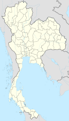
Ban Khu Mueang is located in Ang Thong Province , Amphoe Sawaeng Ha , about 2 km from Mae Nam Chao Phraya (Chao Phraya River). The settlement extends over 650 m by 750 m and has numerous temple foundations made of bricks . It is surrounded by a wide moat and contains an earthen mound.
Archaeologists have identified four different phases of settlement up to a depth of more than three meters:
- between 300 and 550, ceramics were found similar to those made in Funan ,
- two phases that belong to the Dvaravati period, iron spears and knives were found as well as traces of a local pottery culture,
- the last phase contains ceramics from Angkor .
literature
- Charles Higham : Encyclopedia of Ancient Asian Civilizations . New York: Facts on Files 2004. ISBN 0-8160-4640-9 . Article: "Ban Khu Muang".
