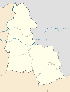
Banychi
| Banychi | ||
| Баничі | ||

|
|
|
| Basic data | ||
|---|---|---|
| Oblast : | Sumy Oblast | |
| Rajon : | Hlukhiv district | |
| Height : | 152 m | |
| Area : | Information is missing | |
| Residents : | 1,324 (2004) | |
| Postcodes : | 41462 | |
| Area code : | +380 5444 | |
| Geographic location : | 51 ° 31 ' N , 33 ° 55' E | |
| KOATUU : | 5921580401 | |
| Administrative structure : | 3 villages | |
| Address: | вул. Мурашка 51а 41462 с. Баничі |
|
| Statistical information | ||
|
|
||
Banytschi ( Ukrainian Баничі ; Russian Баничи Banitschi ) is a village in the Ukrainian Sumy Oblast with about 1300 inhabitants (2004).

Quartz quarry near Banytschi
Geographical location
The village lies on the banks of the Esman ( Есмань ), a 50 km long tributary of the Klewen and at the beginning of the Makowe – Banytschi railway line . The P-44 regional road runs to the east of the village . The Hluchiw district center is 19 km north and the Sumy oblast center is 120 km southeast of Banychi.
local community
Banytschi is the administrative center of the district council of the same name in the south of Hlukhiv district , which also includes the village of Budyschtscha ( Будища ⊙ ) with about 300 inhabitants and the village of Mazkowe ( Мацкове ⊙ ) with about 150 inhabitants.
Web links
Commons : Banytschi - collection of pictures, videos and audio files
Individual evidence
- ↑ The village's website on the Verkhovna Rada website , accessed on April 15, 2017


