
Bara Shigri Glacier
| Bara Shigri Glacier | ||
|---|---|---|
| location | Himachal Pradesh ( India ) | |
| Mountains | Western Himalayas | |
| Type | Valley glacier | |
| length | 28 km | |
| Exposure | northwest | |
| Altitude range | 6600 m - 3950 m | |
| Coordinates | 32 ° 15 ′ N , 77 ° 35 ′ E | |
|
||
| drainage | Chandra → Chanab | |

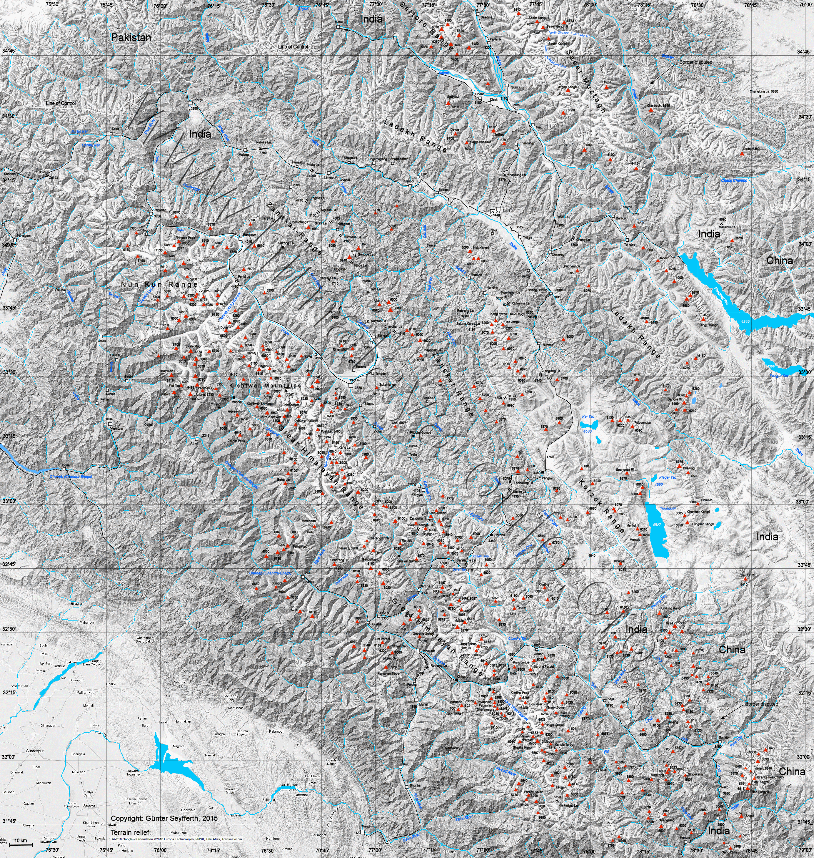
The Bara Shigri Glacier is located in the Lahaul and Spiti district in the Indian state of Himachal Pradesh .
The 28 km long glacier flows in a north-westerly direction through the western Himalayas . It flows into the Chandra , the left source river of the Chanab . The following mountains are located in the catchment area of the glacier: Parbati (6633 m), Kulu Pumori (6553 m), Shigri Parbat (6526 m) and Snow Cone (6309 m).
The name of the glacier has the following meaning: Bara = "big" and Shigri = "glacier".
Web links
- Map at himalaya-info.org
Individual evidence
- ↑ a b himalaya-info.org
- ↑ Website of the districts of Lahaul and Spiti ( Memento of August 11, 2014 in the Internet Archive )