Bathurst Island (Australia)
| Bathurst Island | ||
|---|---|---|
| Tiwi Islands (Bathurst is the smaller island on the left) | ||
| Waters | Timor Sea ( Indian Ocean ) | |
| Archipelago | Tiwi Islands | |
| Geographical location | 11 ° 35 ′ S , 130 ° 18 ′ E | |
|
|
||
| surface | 2 100 km² | |
| Highest elevation | Mount Hurd 71 m |
|
| Residents | 1640 <1 inh / km² |
|
| main place | Wurrumiyanga | |
| Topographic map sheet (1944) | ||
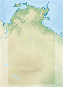
Bathurst Island is an Australian island off the northern coast of the Northern Territory .
It is 2100 km² and belongs to Melville Island to the group of Tiwi Islands .
The island name is reminiscent of Count Henry Bathurst , after whom the Canadian island of the same name Bathurst Island is named. The largest settlement on the island, Nguiu, today Wurrumiyanga , is located in the southeast, has 1,450 inhabitants and is approx. 70 km from Darwin .
Is the on the southeast tip of Aboriginal -Siedlungsgemeinschaft Wurrumiyanga . With around 1,300 inhabitants, it is the largest town on the island.


