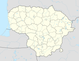
Betygala
| Betygala | ||
|
||
| State : |
|
|
| District : | Kaunas | |
| Rajong municipality : | Raseiniai | |
| Coordinates : | 55 ° 22 ′ N , 23 ° 22 ′ E | |
| Inhabitants (place) : | 488 (2011) | |
| Time zone : | EET (UTC + 2) | |
| Postal code : | LT-60010 | |
|
|
||
Betygala is a town with 488 inhabitants (2011) in the Rajong municipality Raseiniai . It is located 16 km east of Raseiniai , on the Ariogala - Tytuvėnai road , on the left bank of the Dubysa , on the Vieviržė in the Dubysa Regional Park . It is the center of the Betygala District and the Betygala Sub- District . There is the Betygala Catholic Church (built in 1930) and a post office (LT-60010). Betygala was first mentioned in a document in 1253. In 1579 there was a parish school and from 1867 to 1915 there was a state primary school .
people
- Juras Andriukaitis , banker
- Vincas Girnius , politician
Web links
Individual evidence
- ↑ 2011 census. Statistics Departamentas (Lithuania), accessed on August 16, 2017 .


