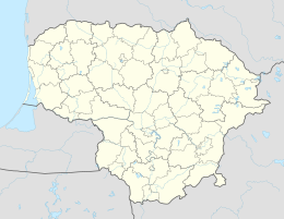
Ariogala
| Ariogala | ||
|
||
| State : |
|
|
| District : | Kaunas | |
| Rajong municipality : | Raseiniai | |
| Coordinates : | 55 ° 16 ′ N , 23 ° 28 ′ E | |
| Height : | 80 m | |
| Area (place) : | 4.82 km² | |
| Inhabitants (place) : | 3,208 (2011) | |
| Population density : | 666 inhabitants per km² | |
| Time zone : | EET (UTC + 2) | |
| Telephone code : | (+370) 428 | |
| Postal code : | 60263 | |
| Status: | a city office in a Rajongemeinde |
|
| Website : | ||
|
|
||
Ariogala (German, 18th Century: Hoyragel ) is a small town with a village atmosphere in central Lithuania on the Dubysa , near the motorway A 1 ( Kaunas - Klaipeda ) located. It has the status of a city office ( miesto seniūnija ) in the Rajongemeinde Raseiniai .
The first known mention of Ariogala is from 1253 . In the 1950s, Ariogala was the county seat before Ariogala County was incorporated into Raseiniai County . Ariogala was the seat of a state improvement company that was the main employer during the Soviet era. In addition, there is a reinforced concrete plant from this time. In recent years some investors from Scandinavia have settled in Ariogala.
Web links
Commons : Ariogala - collection of images, videos and audio files


