Beu-tse
| Beu-tse | ||
|---|---|---|
| height | 6270 m | |
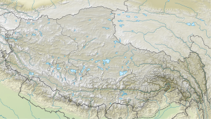
| location | Circle Doilungdeqen in Tibet ( China ) | |
| Mountains | Nyainqêntanglha | |
| Coordinates | 29 ° 57 '9 " N , 90 ° 32' 18" E | |
|
|
||
| First ascent | September 21, 2003 by a British expedition | |
The Beu-tse is a mountain in the autonomous region of Tibet .
The mountain is 68 km west-northwest of Lhasa and 16 km south of Yangbajain . At 6,270 m, it forms the highest elevation of a mountain group that is delimited in the north and west by the Yangbajain valley, in the south by the Yarlung Tsangpo and in the east by the Doilung Qu river valley . The mountain has two pyramid-shaped peaks, between which a hanging glacier flows south. The mountain can be seen not far from the Yangpachen Monastery .
Ascent history
The first ascent was made on September 21, 2003 by John Town, Derek Buckle, Martin Scott and Alasdair Scott - members of a British expedition - over the north-west face.
Web links
Beu-tse, China on Peakbagger.com (English)
