Bezdrev
| Bezdrev | ||
|---|---|---|

|
||
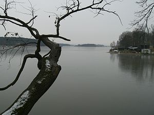
| Pond mirror on the dam | ||
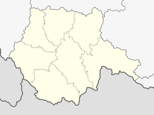
| Geographical location | Budweiser Basin near Zliv ( Czech Republic ) | |
| Tributaries | Soudný potok , Mydlovarský potok, Pištínský potok, Břehovský potok | |
| Drain | Bezdrevský potok | |
| Places on the shore | Zliv | |
| Location close to the shore | Hluboká nad Vltavou | |
| Data | ||
| Coordinates | 49 ° 2 '9 " N , 14 ° 24' 23" E | |
|
|
||
| Altitude above sea level | 381 m | |
| surface | 3.94 km² | |
| volume | 5,630,000 m³ | |
| scope | 18.5 km | |
| Maximum depth | 7 m | |
|
particularities |
third largest pond in the Czech Republic, Králičí ostrov peninsula |
|
The Bezdrev (German Bestrewer Teich ) is a pond in southern Bohemia. It is located south of the city of Zliv in the Budweiser Basin in the Czech Republic and is fed by the Soudný potok and some smaller tributaries. The Bezdrev is the third largest fish pond in the country after the Rosenberg pond and the Horusický rybník . It belongs to the Zliv cadastre.
The artificial pond was created between 1490 and 1492 for the owner of the Frauenberg estate , Wilhelm II. Von Pernstein . It has a 400 m long dam that reaches a height of 7.8 m. The Hluboká nad Vltavou train station is located below the dam.
To the northwest above is the Zlivský rybník pond. On the north bank lies Zliv , east Munice and Hluboká nad Vltavou , in the southeast the Vondrov court and the castle Ohrada , south Dasný , in the southwest Češnovice and on a peninsula Zálužice. To the west is Pištín .
In the northern part there is the peninsula Králičí ostrov ( Künigelberg ). The original wooded island on which the stately hunter's house Künigelberg was located, got its name from the keeping of numerous rabbits. It was connected to the country in the second half of the 19th century. The Plzeň - České Budějovice railway line runs along the eastern bank . This used to lead in an 800 m long bridge at the Künigelberg Island over the northeast bay. Later a dam was built in its place and the bay was separated as the Bezdrývka pond .
Web links
- František Pouzar: Jihočeské rybníky (pdf; 1.60 MB)
