Bintingerode
Coordinates: 51 ° 54 ′ 49.3 " N , 10 ° 38 ′ 22.7" E
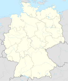
Bintingerode is a desert in the area of the city of Bad Harzburg .
geography
The desert is located in the Schimmerwald in Bad Harzburg between Eckertal in the south, Abbenrode in the north and Bettingerode in the west on the banks of the Ecker . In a comparison between Heinrich II. , Duke of the Principality of Braunschweig-Wolfenbüttel , and Halberstadt Abbey, 1535 is described: "[...] on a hill, where a chapel is supposed to stand, called Bintingerode".
history
Bintingerode was mentioned on May 2, 1110 as Puerinnenroth in a document from Bishop Reinhard von Halberstadt. Other names are 1459 Buntingerode and 1578 Bintingerode . The place was abandoned before 1506.
Bintingerode formed a geographical and political unit with Halbertingerode (also known as the "half village").
About a century after the village was deserted, the Altfelder Krug was built in the vicinity .
literature
- Richard Weries: History of the Harzburg office according to its forest, field and street names . 1937. p. 22.
Individual evidence
- ↑ Bernd Stenal: The Harz History 2: Early and High Middle Ages . S. 145 ( limited preview in Google Book search).
