Black Elk Peak
| Black Elk Peak | ||
|---|---|---|
|
Black Elk Peak |
||
| height | 2208 m | |
| location | Pennington County , South Dakota , USA | |
| Mountains | Black Hills | |
| Coordinates | 43 ° 51 '58 " N , 103 ° 31' 54" W | |
|
|
||
| Development | Lookout point | |
| particularities | highest point in South Dakota | |
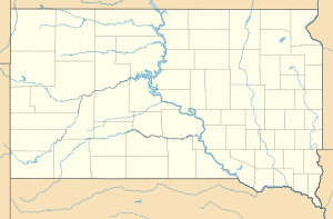
The Black Elk Peak (formerly Harney Peak) forms with its 2208 meters the highest point in the US state of South Dakota and the Black Hills . Located in Pennington County , it is the highest mountain in the United States east of the Rocky Mountains .
Named the mountain after Black Elk , the medicine man of the Oglala - Lakota - Indians . The mountain was named from 1855 to August 11, 2016 after General William S. Harney (1800-1889) Harney Peak , who commanded the troops against the Brulé-Lakota in the Battle of Ash Hollow . The United States Board on Geographic Names changed the official name to Black Elk Peak on August 11, 2016 , to honor Black Elk, after whom the wilderness area is named. On the summit of the Black Elk Peaks there is a stone lookout , which used to be a fire lookout. There is also a small dam . The elevation is in the Black Hills National Forest .
See also :
Web links
- Black Elk Peak on Peakbagger.com (English)

