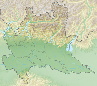
Bocca di Fobia
| Bocca di Fobia | |||
|---|---|---|---|
|
|
|||
| Pass height | 1286 m | ||
| Tremosine sul Garda , Province of Brescia , Lombardy | |||
| Mountains | Garda mountains , Alps | ||
| Map (Lombardy) | |||
|
|
|||
| Coordinates | 45 ° 49 '42 " N , 10 ° 42' 57" E | ||
The saddle Bocca di Fobia (1,286 m) is the northernmost mountain range in the transition between the Valle San Michele and the Valle di Bondo at tremosine on Lake Garda .
geography
The saddle forms a cut in the otherwise nameless mountain range with the peaks La Cocca , Cima Mughera , Monte Zenone, Cima delle Volte, Punta Molvina and Cima delle Sclape between the two valleys and rises steeply in the north to the famous Monte Tremalzo .
history
The Sentiero 218 leads over the mountain range along old fortifications and tunnels from the First World War .
Tour possibilities
The pass can be reached via Sentiero 222 from the west or via Sentiero 218 from the east. Except for hikers, the partially exposed paths through the tunnels and old fortifications are popular with mountain bikers.

