Bois Blanc Island (Lake Huron)
| Bois Blanc Island | ||
|---|---|---|
| Bois Blanc Island is the largest island in the picture (right) | ||
| Waters | Lake Huron | |
| Geographical location | 45 ° 46 '30 " N , 84 ° 28' 44" W | |
|
|
||
| surface | 91.4 km² | |
| Residents | 71 (2000) <1 inh / km² |
|
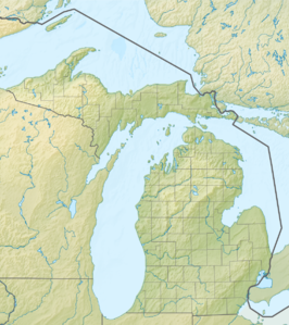
Bois Blanc Island is an island in the Huron Sea north of the Mackinac Strait and is located in Mackinac County of Michigan (USA).
The island is congruent with the Bois Blanc Township . It is 19 km long, 9.6 km wide and has an area of 91.4 km². Bois Blanc Island is located southeast of Mackinac Island and north of the town of Cheboygan .
"Bois Blanc" comes from French and means "white wood".
history
Bois Blanc Island was ceded to the US government by the local Anishinabe under the Treaty of Greenville in 1795. The assignment includes most of Ohio , parts of Indiana , 16 strategic locations on Lake Michigan and Mackinac Island . During the British-American War , the US Navy Captain Arthur Sinclair's took refuge on the island and later attacked the British at Fort Mackinac . In 1880, the alleged murderer Henry English fled to the island to avoid his trial in Pennsylvania. There, however, he was tracked down and caught by Pinkerton detectives.
In 1827 the island was mapped by the United States. The US Coast Guard established a base at Walker's Point in 1890. The following year, the Pointe Aux Pins Association was established. Several summer residences were built on the island in the late 19th century.

