Bouse
| Bouse | |
|---|---|
|
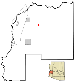
Location in County and Arizona
|
|
| Basic data | |
| State : | United States |
| State : | Arizona |
| County : | La Paz County |
| Coordinates : | 33 ° 56 ′ N , 114 ° 0 ′ W |
| Time zone : | Mountain Standard Time ( UTC − 7 ) |
| Residents : | 615 (status: 2000) |
| Population density : | 23.6 inhabitants per km 2 |
| Area : | 26.1 km 2 (approx. 10 mi 2 ) of which 26.1 km 2 (approx. 10 mi 2 ) is land |
| Height : | 289 m |
| Postal code : | 85325 |
| Area code : | +1 928 |
| FIPS : | 04-07310 |
| GNIS ID : | 0001887 |
Bouse is a census-designated place in La Paz County in the US state of Arizona . Bouse has 615 inhabitants on an area of 26.1 km². The village is affected by Arizona State Route 72 . The nearest airport, Avi Suquilla Airport , is in Parker .
