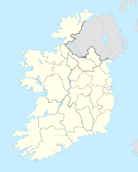
Bunclody
| Bunclody Bun Clóidí |
|||
| Province: | Leinster | ||
| County: | Wexford | ||
| Height: | 43 m | ||
| Residents: | 1984 (2016) | ||
| location | |||
|
|||
| Coordinates: | 52 ° 39 ′ N , 6 ° 39 ′ W | ||
Bunclody ( Irish : Bun Clóidí; German: "Valley (sole), end of the Clody") is a town on the border of Counties Carlow and Wexford in the southeast of the Republic of Ireland .
Bunclody is located at the confluence of the River Clody and River Slaney at the foot of Mount Leinster , with most of the place in County Wexford, a much smaller one to the north of the city in Carlow. The population of Bunclody was determined in the Census 2016 with 1984 people.
Bunclody is on the N80 about midway between Enniscorthy and Carlow Town ; it is connected to Gorey on the N11 by a regional road, as is Tullow and Arklow further north.
During the Irish Rebellion of 1798 , Bunclody was the site of the Battle of Bunclody (or Newtownbarry, as the place was then called).
Web links
Individual evidence
- ^ A History of Bunclody (accessed February 25, 2009)
- ↑ Map of Ireland (can be enlarged greatly)
- ↑ Bunclody - Carrickduff (Town) on citypopulation.de, accessed on September 7, 2017
