Bygdin
| Bygdin | ||
|---|---|---|

|
||
| Geographical location | Innlandet , Norway | |
| Drain | Vinsteråne → Lågen | |
| Places on the shore | Eidsbugarden, Torfinnsbu, Bygdin | |
| Location close to the shore | Beitostølen , Fagernes | |
| Data | ||
| Coordinates | 61 ° 22 ' N , 8 ° 23' E | |
|
|
||
| Altitude above sea level | 1048-1058 m | |
| surface | 39.89 km² | |
| length | 25 km | |
| scope | 73.1 km | |
| Maximum depth | 215 m | |
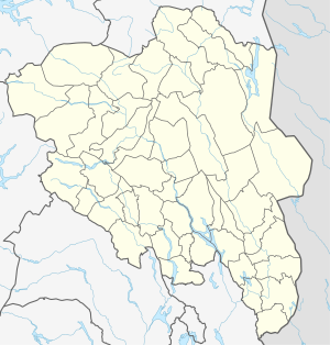
The Bygdin is a lake in the Norwegian province ( Fylke ) Innlandet . It is located southeast of the Jotunheimen Mountains, just outside the national park.
The lake is long and narrow, the west-east extension is 25 km. In contrast to the emerald green Gjendesee to the north, the Bygdin has no inflows from glaciers, which means that its color is deep blue.
Together with Lake Vinstri and Lake Tyin , it is one of the largest lakes in the Valdres region . It is regulated by a dam at the east end and the altitude varies between 1048 m and 1058 m .
There are several tourist huts by the lake; at the west end Eidsbugarden and Fondsbu , at the north side Torfinnsbu and at the east end the town of the same name Bygdin. The latter is located directly on RV 51. In summer, a ship, the M / B Bitihorn , which went into service in 1912, connects these three places.
See also
- List of lakes in Norway
- Bitihorn (mountain)

