Tyin (lake)
| Tyin | ||
|---|---|---|

|
||
| Lake Tyin in the foreground, looking north. | ||
| Geographical location | Vang , Innlandet , Norway | |
| Drain | Tya → Utla → Årdalsvatnet → Sognefjord | |
| Places on the shore | Tyinholmen, Malnesbua | |
| Location close to the shore | Fagernes , Vang | |
| Data | ||
| Coordinates | 61 ° 19 ′ N , 8 ° 15 ′ E | |
|
|
||
| Altitude above sea level | 1084 moh. | |
| surface | 33.02 km² | |
| volume | 0.313 m³ | |
| scope | 51.48 km | |
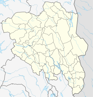
The Tyin is a lake in the municipality of Vang in the Norwegian province ( Fylke ) Innlandet . It is located southwest of the Jotunheimen Mountains.
The lake is the water magazine for the Tyin power plant, which also regulates the height of the lake between 1084 m and 1072 m .
The Rv 53 (Tyin- Årdal ) runs on the southwest side of the lake and Rv 252 (Tyin- Eidsbugarden ) on the east.
Together with Lake Vinstri and Lake Bygdin , it is one of the largest lakes in the Valdres region .

