Captiva Island
| Captiva Island | ||
|---|---|---|
| Terns on Captiva Island | ||
| Waters | Gulf of Mexico | |
| Geographical location | 26 ° 32 ′ N , 82 ° 12 ′ W | |
|
|
||
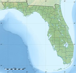
Captiva Island is a tropical palm island in Lee County in southwest Florida . It was originally part of the neighboring island of Sanibel , which is south of it, but a hurricane created a canal. The only automobile connections to Captiva are the Sanibel Causeway and Sanibel-Captiva Road.
North Captiva Island or Upper Captiva is a separate, privately owned island further north.
Captiva was badly hit by Hurricane Charley in August 2004 . 160 buildings were destroyed and another 160 badly damaged. The storm surge cut a 365 m wide path over the thinnest part of North Captiva Island that divided the island.
The only place on Captiva Island is the CDP Captiva on the South Island.

