Caribou-Targhee National Forest
|
Caribou-Targhee National Forest
|
|
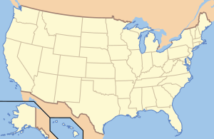
| location | Idaho , Utah and Wyoming , USA |
| surface | 10,645.15 km² |
| Geographical location | 42 ° 47 ' N , 111 ° 33' W |
| Setup date | 1903 |
| administration | US Forest Service |
The Caribou-Targhee National Forest consists of the two areas Caribou National Forest , with nine sub-areas and the Targhee National Forest with two sub-areas and is in the US - states Idaho , Wyoming and Utah . It is part of the Greater Yellowstone Ecosystem . Adjacent to the reserve are the two national parks, Grand Teton and Yellowstone, as well as the Bridger-Teton National Forest , Jedediah Smith Wilderness and Winegar Hole Wilderness . There are dozen of campsites and 2,500 km of hiking trails in the National Forest. Due to the presence of limestone , there are many karst features and caves here .
Flora and fauna
Sagebrush and various types of grass are found in the western parts . In the higher elevations, coastal pines and various spruce and fir species are predominant. In addition to grizzlies are mountain lions , bison , elk , pronghorn , mule , black bears , elk and wolves before. A program to reintroduce peregrine falcons has also been started. Brook trout , cutthroat trout and pike can be found among fish .
Web links
Individual evidence
- ↑ About the Forest , fs.usda.gov, accessed September 2, 2019 (English)


