Chaiber Pass (Signy Island)
| Chaiber Pass | |||
|---|---|---|---|
| Signy Island , South Orkney Islands | |||
| map | |||
|
|
|||
| Coordinates | 60 ° 43 '8 " S , 45 ° 36' 32" W | ||
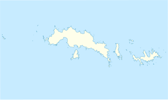
The Chaiber Pass is a mountain pass flanked by sheer cliffs on Signy Island in the archipelago of the South Orkney Islands . It runs between the northeast flank of the McLeod Glacier and Rusty Bluff .
The pass served as a frequently used route of the British Antarctic Survey to get from the Gourlay Peninsula to the Moraine Valley . The namesake of the long-established name recognized by the UK Antarctic Place-Names Committee in 1990 is the Chaiber Pass between Pakistan and Afghanistan .
Web links
- Khyber Pass in the Geographic Names Information System of the United States Geological Survey (English)
- Khyber Pass on geographic.org (English)
