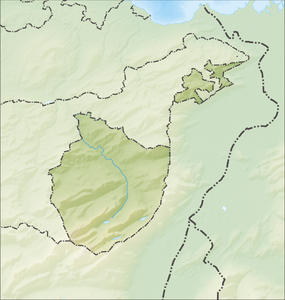
Chlosterspitz
| Chlosterspitz | ||
|---|---|---|
|
On the summit of the Chlosterspitz, in the background the Kronberg |
||
| height | 1326 m above sea level M. | |
| location | Canton of Appenzell Innerrhoden , Switzerland | |
| Dominance | 0.76 km → mountain ridge southwest | |
| Notch height | 43 m ↓ Neuenalp | |
| Coordinates | 748 341 / 241868 | |
|
|
||
The Chlosterspitz (also Klosterspitz ) is 1326 m above sea level. M. high mountain in the canton of Appenzell Innerrhoden . It lies on the municipal boundary between Appenzell and Schwende .
There is a bench and a simple summit cross on the summit. From here there is a view of various higher mountains in the area, e.g. B. the Säntis , the Hohen Kasten and the Kronberg .

